You know what’s charming about buying a house in an old neighborhood? Realizing that the “tract” that makes up your neighborhood was laid out in 1889. In this case, the tract was named after two guys — Worrell and Ward — who owned vineyard acreage in the area, much of which was lost to the phylloxera infestation that hit Napa county in the late 19th century. I’m still doing some historical research, but I’m assuming that Worrell and Ward decided to subdivide the land and sell it for residential development rather than replace the vines destroyed by phylloxera.
You know what’s not charming about buying a house in an old neighborhood? When you realize that the lots and property boundaries haven’t been surveyed in a more than a century. And you suspect that maybe your old cottage partially sits on someone else’s land. And so you’re going to need a survey. And there are no markers or monuments for a surveyor to work from. Which means your survey is gonna run you well into the four figures. Ouch.
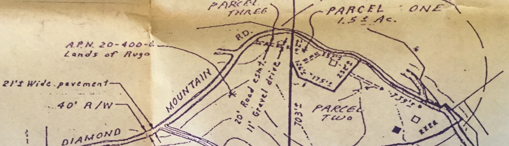
Here’s what I’m buying:
A PORTION OF LOTS 111 AND 112 AS SHOWN ON THE MAP ENTITLED, “MAP OF THE SUBDIVISIONS OF THE WORELL AND WARD TRACT, ST. HELENA, NAPA CO., CAL.” FILED IN THE OFFICE OF THE COUNTY RECORDER OF THE COUNTY OF NAPA, STATE OF CALIFORNIA ON JULY 12, 1889, DESCRIBED AS FOLLOWS:
COMMENCING AT A POINT ON THE NORTHEASTERLY LINE OF SCOTT AVENUE AT THE MOST WESTERN CORNER OF LOT 112 ABOVE REFERRED TO; AND RUNNING THENCE NORTHEASTERLY ALONG THE NORTHWESTERLY LINES OF SAID LOTS 112 AND 111, A DISTANCE OF 100 FEET TO THE MOST NORTHERN CORNER OF SAID LOT 111; THENCE SOUTHEASTERLY ALONG THE NORTHEASTERLY LINE OF LOT 111; A DISTANCE OF 52 FEET; THENCE SOUTHWESTERLY AND PARALLEL TO THE NORTHWESTERLY LINES OF SAID LOTS 100 FEET TO THE NORTHEASTERLY LINE OF SCOTT AVENUE; THENCE NORTHWESTERLY ALONG LAST MENTIONED LINE 52 FEET TO THE POINT OF COMMENCEMENT.
![1620 Scott, Assessor Parcel Map[1]](https://maureen707.com/wp-content/uploads/2013/08/1620-scott-assessor-parcel-map11.jpg)
